Why Contractors Choose MOBA-Matic for Superior Paving Results
Achieve top IRI scores and superior paving results with MOBA-Matic’s advanced screed control and multi-point Sonic Ski technology, ensuring smooth, long-lasting surfaces
2D and 3D excavator control systems: optimal for every construction site
During Excavation the driver can only assume the correct depth. To verify the depth needs to be checked manually.
Manual measurement causes high operating costs and requires a lot of time.
The surveyor who measures the depth manually has to move into a risk zone.
Creating surfaces with multiple slope changes requires even more manual checks.
The operator can only visually duplicate previous slopes and then manually check them.
If the operator has not enough experience it will be difficult to get a good result.
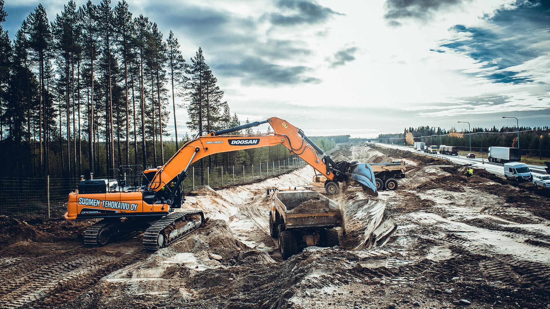
Our robust Xsite EASY ideally equips you for the daily construction routine. Harsh weather conditions, rough terrain or poor visibility do not pose a challenge any more. The excavation system allows you to maintain the correct perspective. The system is ideally suited for foundation construction, excavation or embankment construction, or for leveling or under water excavation.

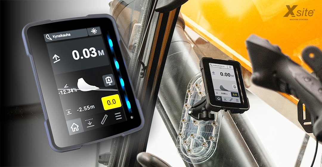
The precise bucket position is shown to the operator graphically and numerically on the display in real time. This information enables the machine operator to know the exact position and progress of the work at any time. The operator can work exactly according to plan and meet the requirements exactly and fast.
The system’s laser receiver enables moving your machine at the site without losing the original level.
Thanks to the CAN-based development of further hardware components focused on system modularity, the system can be upgraded from 2D to 3D functionality in a very short time and cost-efficiently. Invest in this modular system to keep all its features accessible and increase your ROI.
Do you have questions about our excavator control? We are ready to help you!
Contact Us

With the Xsite® PRO 2D system you are always well equipped for all requirements of a construction site. Whether simple work or complex construction projects, MOBA excavator controls provide a perfect interaction between all components to provide a precise, efficient result. Thanks to the modular structure of the 3D software, Xsite PRO can also be upgraded at any time. The Xsite® PRO system enables the smooth handling of network correction services, base stations and GNSS receivers from different manufacturers. This eliminates single manufacturer commitment and allows you to work on multiple projects without the risk of incompatibility. In addition, the system is compatible with third-party software such as BIM cloud providers. Different openBIM data formats can be used without conversion or compatibility problems. This gives you a significant market leadership position in a competitive market.
The precise bucket position is shown to the operator graphically and numerically on the display in real time. This information enables the machine operator to know the exact position and progress of the work at any time. The operator can work exactly according to plan and meet the requirements exactly and fast.
With remote support, your local reseller can provide you with guidance without having to visit the site. Remote support connects your system to the service centre and can be used to offer training, advice or troubleshooting.
Thanks to the CAN-based development of further hardware components focused on system modularity, the system can be upgraded from 2D to 3D functionality in a very short time and cost-efficiently. Invest in this modular system to keep all its features accessible and increase your ROI.

The precise bucket position is shown to the operator graphically and numerically on the display in real time. This information enables the machine operator to know the exact position and progress of the work at any time. The operator can work exactly according to plan and meet the requirements exactly and fast.
With remote support, your local reseller can provide you with guidance without having to visit the site. Remote support connects your system to the service centre and can be used to offer training, advice or troubleshooting.
Compatible with third-party cloud solutions such as file transfer and fleet management. If required, wireless data transfer also allows preparing the data from the office, whether for further development, documentation or support purposes.
In addition to our US headquarters, MOBA is represented by its subsidiaries in Europe, South America, India, Asia and Australia, and by a worldwide dealer network in all key markets in the sectors it serves.
Achieve top IRI scores and superior paving results with MOBA-Matic’s advanced screed control and multi-point Sonic Ski technology, ensuring smooth, long-lasting surfaces
If you’re looking to streamline your next equipment build, reduce integration headaches, and deliver future-ready functionality to your customers, MOBA is the name you can trust.
As 2025 comes to a close, we reflect on the challenges our industry faced and express our sincere appreciation for our customers and partners. Thank you for trusting MOBA—we’re ready to move into 2026 together.
Choose Your Desired MOBA Subsidiary / Language